Applicable Scenarios
Digital forensics in drone-related crimes;
Investigation of claims that an operator accidentally crashed a drone within a no-fly zone;
Detection of smuggling activities involving drones;
Investigation of unauthorized surveillance;
Analysis of incidents involving aviation interference;
Assessment of threats to (network) infrastructure.
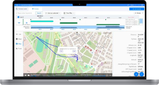
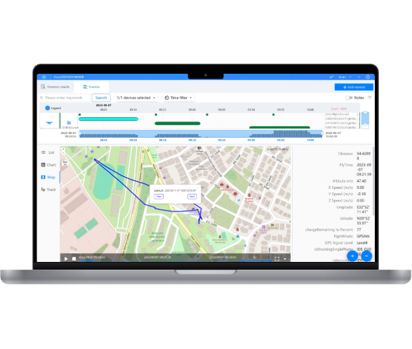
Drone Data Extraction Capabilities
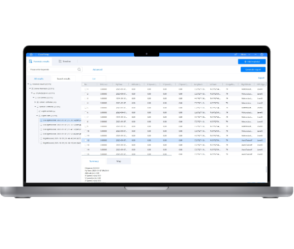
Supports automated extraction, decoding, and parsing of drone data for efficient, multi-dimensional, and visualized flight data analysis.
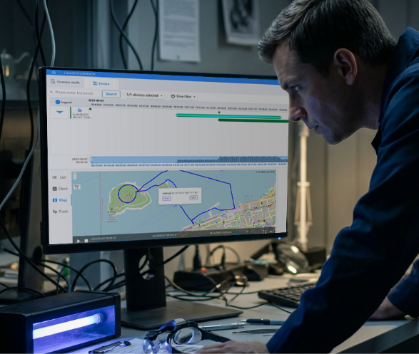
Supports streamlined drone data processing, freeing investigators to focus on analyzing critical information.
Multimedia Content Viewing
Supports parsing and playback of photos and videos captured by the drone.
Flight path reconstruction
Supports parsing and displaying detailed information of the aircraft, controller, batteries, and multimedia.
Supports dynamic linkage of flight trajectories between online and offline maps such as  Google Maps and OpenStreetMap
Timeline
Supports visualized flight path playback with customizable speed. Each trajectory point displays detailed route and flight information.
Supports adding tags to the timeline to help users quickly locate key points by severity level.
Name
Phone
E-mail
WhatsApp
Agency/Organization/Company
Message